A few friends have been working at Rickford Rising removing large boulders and making progress downwards from where the previous protagonist left off some years ago. I have always fancied a dive here but had never got round to it for various reasons. It usually has good visibility so I thought I would attempt to create an accurate photogrammetry model of the site as a snap shot of progress at this point in time, and hope to go back and update the model as progress towards the Burrington Master Cave is made !
A video has been put together by the digging team and gives a rough overview of the site:
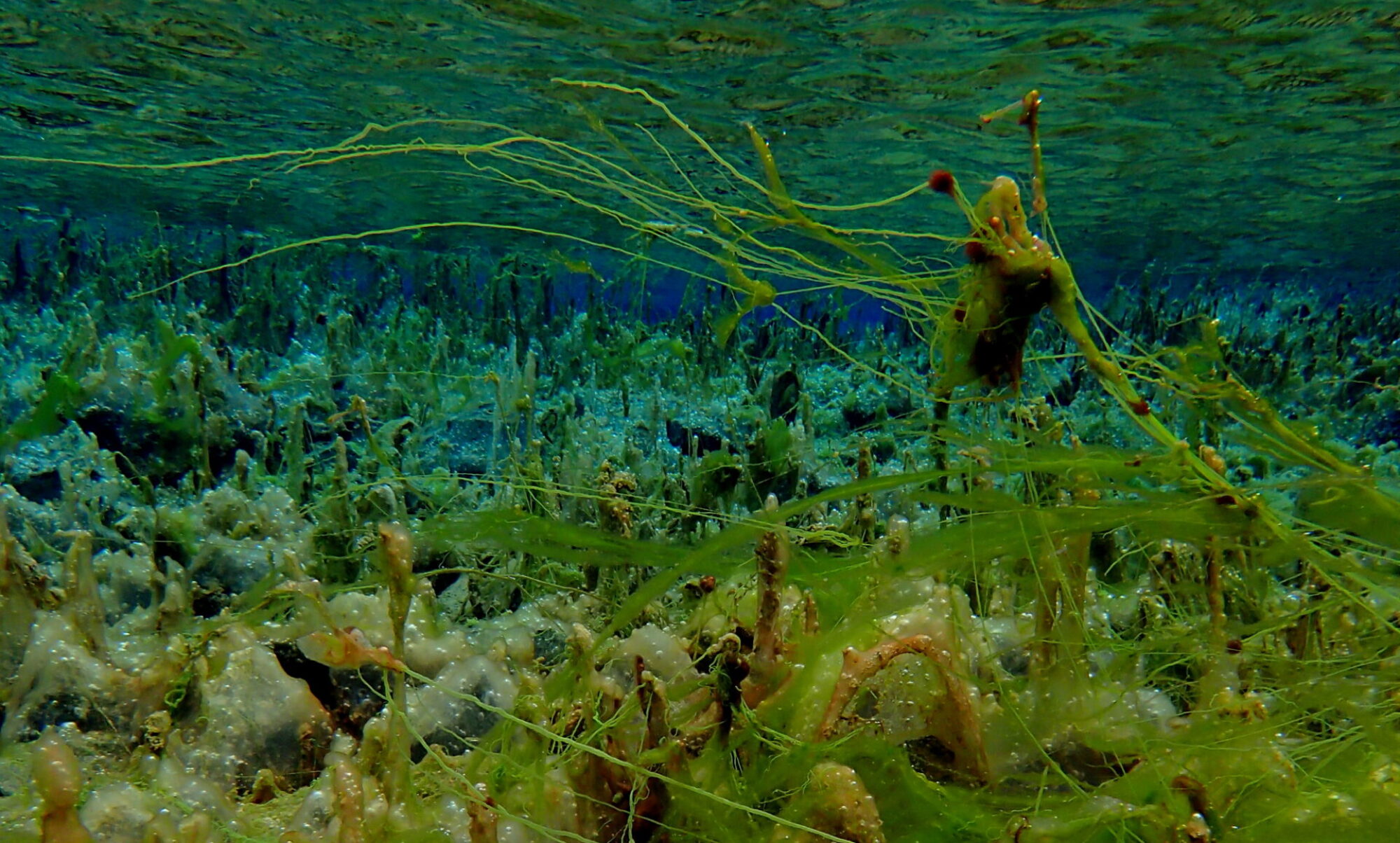
I made four short dives on my visit, facing head first slowly filming the descent from surface to dig face allowing sufficient time for the visibility to clear each time and a survey dive (after having planted the yellow builders square on the first dive).
The builders square was used to provide a scale reference (the lipped edge is 12″ or 0.31m long) and also to provide a fixed straight edge along which I could repeatedly align the edge of my survey box with to make foresights and backsights against to allow the model to be orientated correctly. Accurate depth of the square was also measured, 6.8 m to the yellow surface on the day but this will vary with flow and water level effects.

I have setup the survey box so that it logs data continuously, this allows the diver to retreat whilst measurements are taken minimising any magnetic effects of steel cylinders or other dive gear, this is apparent in the good agreement between foresights and backsights taken, they are no worse than what I have measured on land away from ferrous materials. The upper part of the dig is festooned with scaffold and other metal things.

The survey data was input to Survex and corrected for local magnetic deviation, a resulting bearing of 161° to was calculated for the lipped edge of the plastic square.
The model was processed without issue and was manually scaled, rotated aligned and translated with the survey data measured and the entrance location provided by the cave registry in CloudCompare.
The video from one of the dives can be seen here, attempting to slowly film the waters surface from underneath, down the rift to the current dig face.
A flythrough of the model is available to view below: