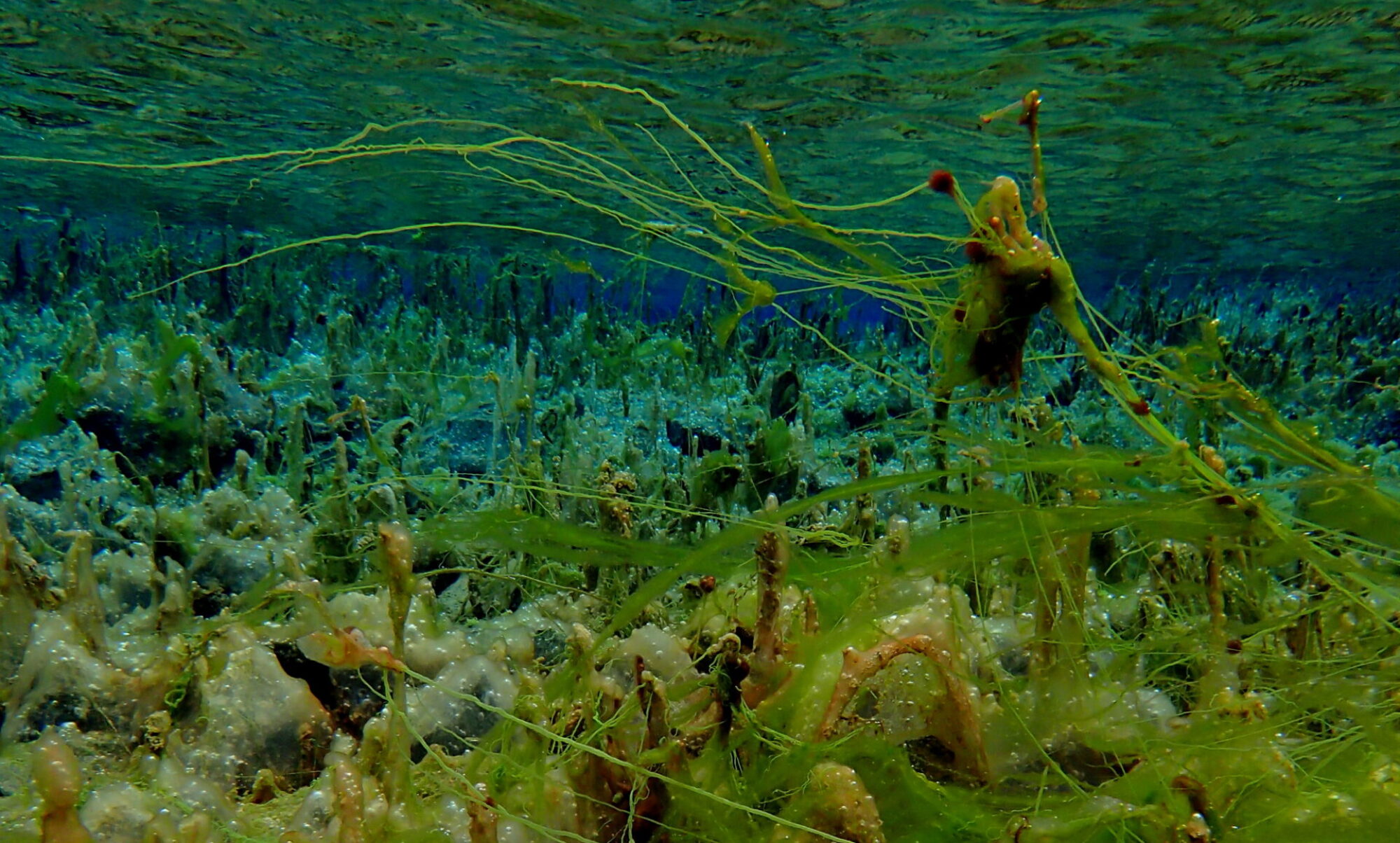
Over the summer months this year (2021) I continued to visit, survey and video various parts of the cave upstream of Upper Cave Water Chamber. The results are very pleasing because not only is the level of detail being captured far in excess of any survey that has been conducted before (at this site) but this detailed data (the models produced by photogrammetry) is also matching well with the Distox2 data which gives real world scale and orientation meaning its not just pretty pictures which I prefer to avoid.
This area of the cave lends itself very well to my process as each section is short and clearly divided by short sumps giving nice workable areas to focus on. The below image shows a comparison with the UBSS survey in plan view.


Where to go next ? I would like to improve the alignment of Sump 9 relative to the rest of the model as so far this has just been best fitted to the other data and I would prefer to link it directly. After this then adding the passages in Parker Series is the next logical step but perhaps this will have to wait until next summer.
I have uploaded the models of the three dry sections to Sketchfab, its low resolution due to the limits on the free account.
